6 Days Rongai Route – Kilimanjaro Climb
The Rongai Route begins on the northern side of Mount Kilimanjaro, near the Kenyan border.
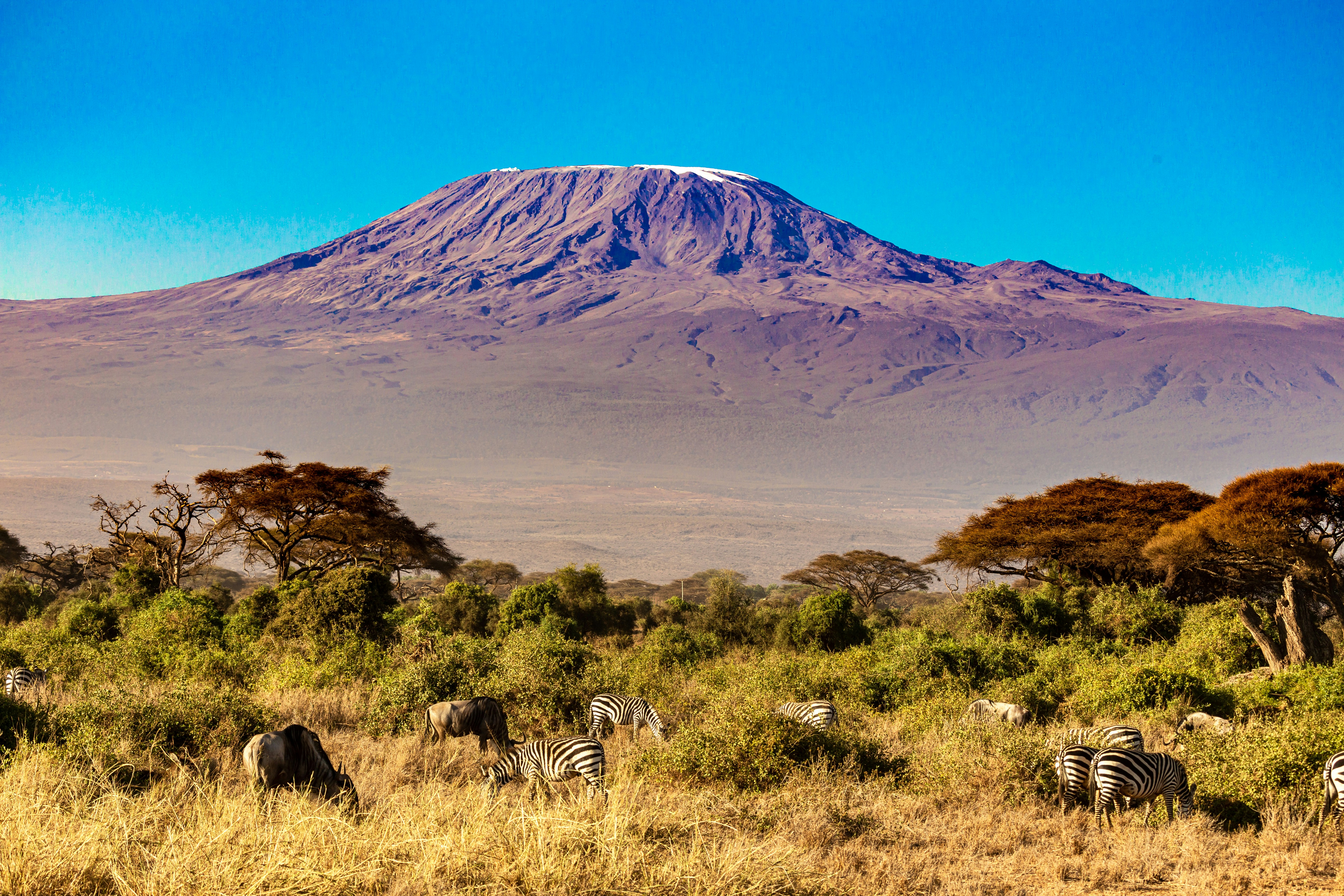
Known for its remote and tranquil paths, it offers an authentic wilderness experience with fewer crowds and breathtaking scenery all the way to Uhuru Peak (5,895m). This route is ideal for climbers looking for a gradual ascent and high summit success rate.
Tour Highlights
- Remote and scenic northern approach
- High summit success rate with gradual acclimatization
- Peaceful trail with minimal traffic
- Stunning views of Mawenzi and Kibo peaks
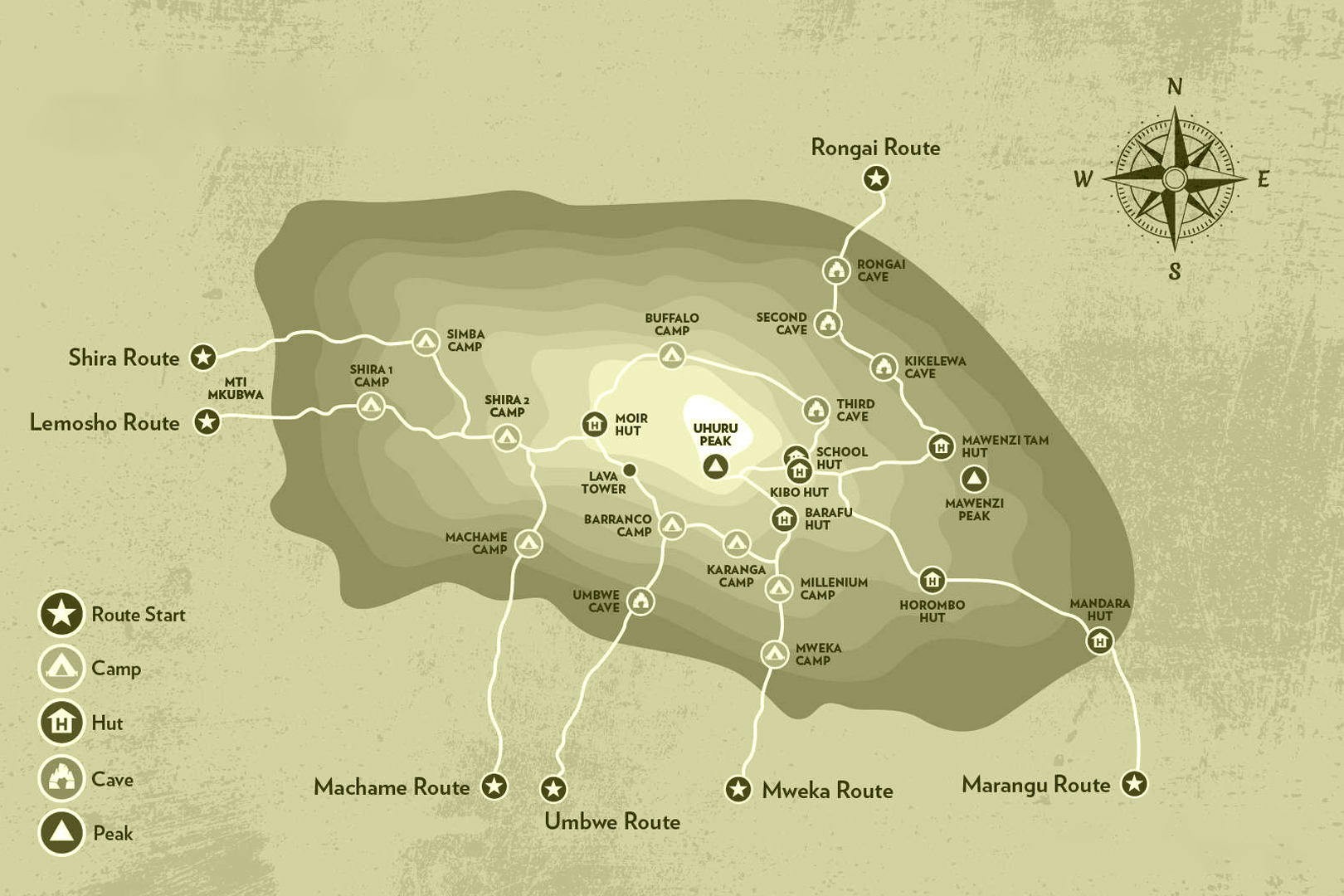
Route Map
Itinerary Overview
Day 1: Rongai Start Point (1996m) – Simba camp (2626m)
Hiking time: 4 hours
Distance: Approximately 6.7 km
Habitat: Forest (Montane)
Depart from Arusha town and drive 2hrs 30 minutes to the Marangu park gate for registration. From there, we travel to Naro Moru, northeast Kilimanjaro, a further 68km and approximately 2 hours to the Rongai start point (1996m). The small winding path crosses maize fields before entering pine forest, and then climbs gently through a forest to Simba Camp (2,626m).
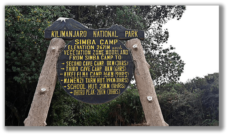
Day 2: Simba Camp (2626m) – Kikelewa Camp (3679m)
Hiking time: 6–7 hours
Distance: Approximately 11.8 km
Habitat: Moorlands
We hike from Simba Camp up towards Kibo till 3,482m for lunch at First Caves. After lunch, we continue trekking to Kikelewa Camp (3,679m). The views open up and you begin to feel you’re on a truly grand mountain!
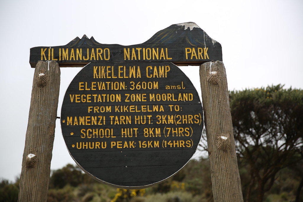
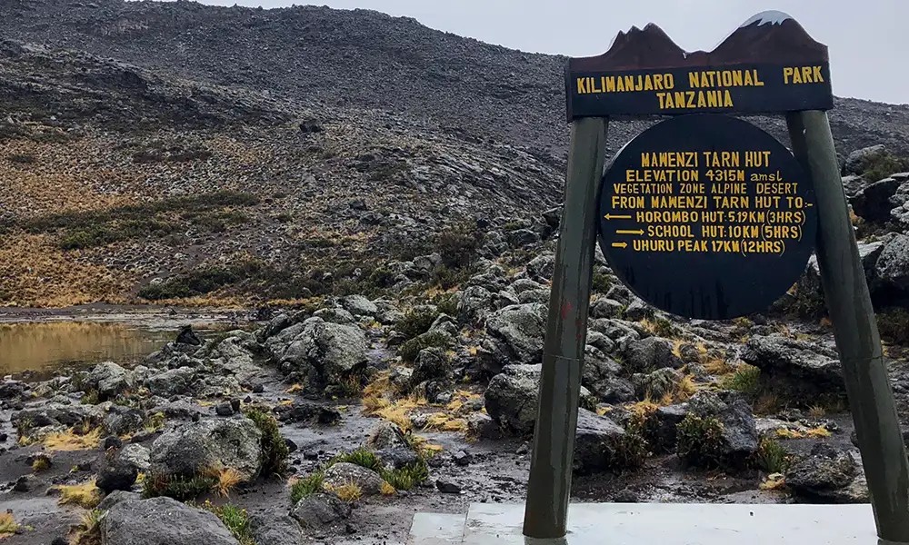
Day 3: Kikelewa Cave (3679m) – Mawenzi Tarn camp (4303m)
Hiking time: 3 hours
Distance: Approximately 3.7 km
Habitat: Moorlands
A short but steep climb up grassy slopes offers superb views of this wilderness area. The vegetation zone ends shortly before reaching Mawenzi Tarn, spectacularly situated beneath the towering spires of Mawenzi.
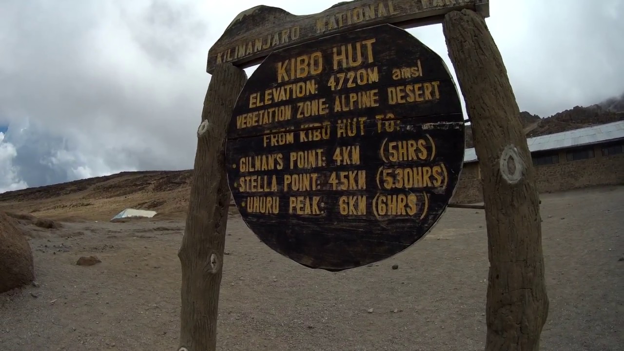
Day 4: Mawenzi Tarn camp (4303m) – Kibo Hut (4730m)
Hiking time: 5 hours
Distance: Approximately 9 km
Habitat: Alpine desert
After breakfast, we head west ascending on the east side of Kibo across the saddle between Mawenzi and Kibo. The day ends with rest and preparation for the final midnight ascent to the summit.
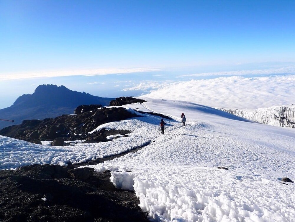
Day 5: Kibo Hut (4730m) – Uhuru Peak (5895m) – Horombo Hut (3705m)
Hiking time: 7–8 hours ascent, 6–8 hours descent
Distance: 5.4 km ascent, 15 km descent
Habitat: Stone scree / ice-cap summit
We begin before midnight, ascending to Gillman’s Point (5,681m) and on to Uhuru Peak — Africa’s highest point! After celebrating, descend to Horombo Hut for overnight rest.
Day 6: Horombo Hut (3705m) – Marangu Gate (1860m)
Hiking time: 6 hours
Distance: Approximately 19.7 km
Habitat: Moorland & Montane Forest
Descend through Mandara Hut to Marangu Gate, where successful climbers receive their summit certificates. Return to Arusha for a well-earned celebration and rest.
Traveler Reviews
Leave a Review
Traveler Reviews
“Unforgettable experience! The Rongai Route was peaceful, and our guides were incredible. Reached the summit safely!”
- Sarah L., UK“Amazing scenery and great organization. Loved every moment from start to finish.”
- Michael K., USA